The Jellystone Park™ Zion insider guide
Bryce Canyon Day Trip: Tips, Routes & Plans
Bryce Canyon's hoodoos are about 2 hours 40 minutes from our gate in Hurricane. Here's how to do it in a day, pair it with Zion, and dodge the surprises of a park that sits 8,000 to 9,000 feet up.
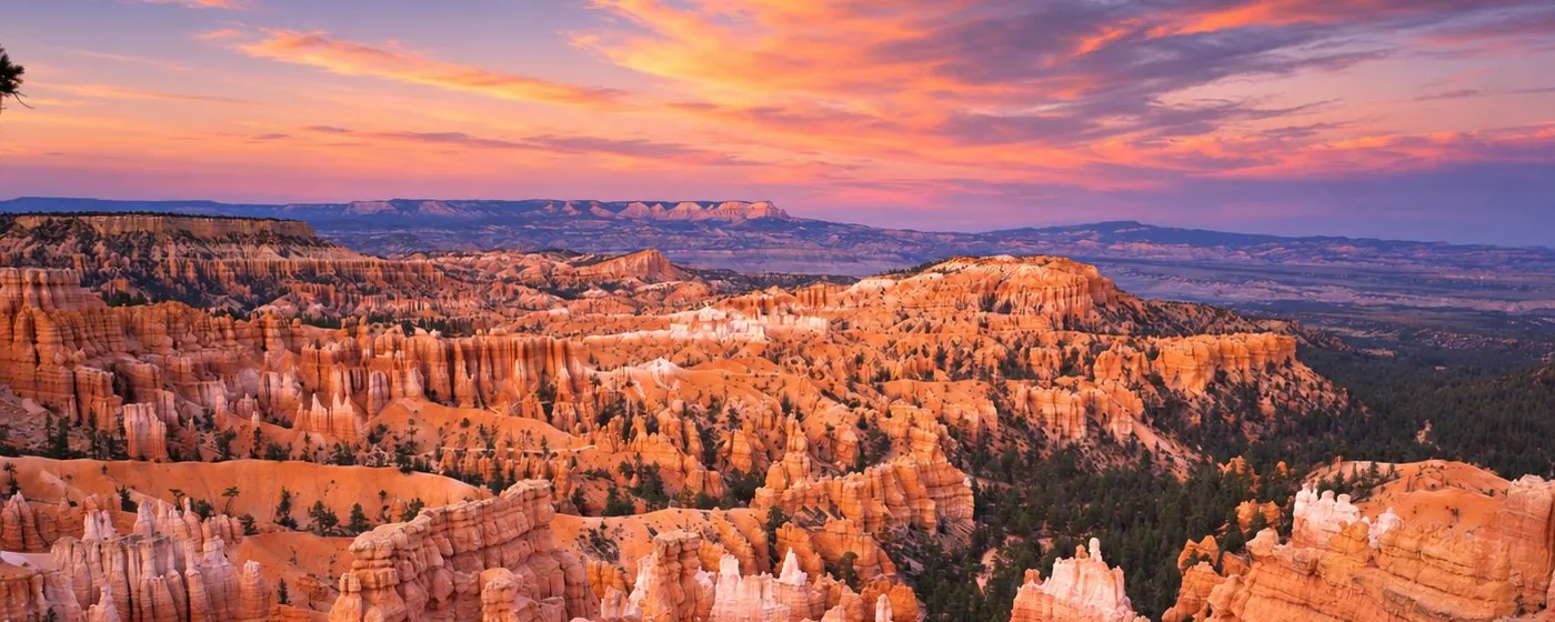
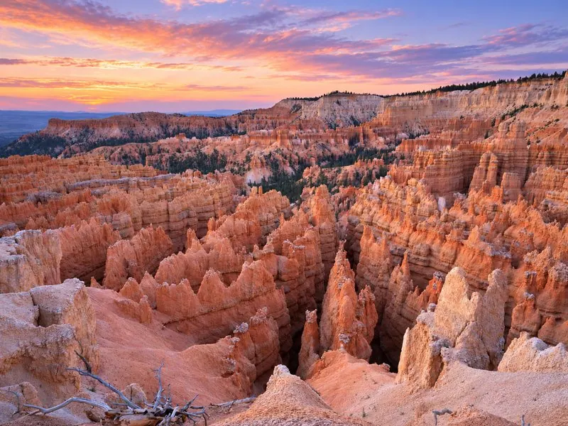
Bryce Canyon National Park is nothing like Zion. Instead of looking up at canyon walls, you stand on the rim of a high plateau and look down into amphitheaters packed with orange and pink rock spires called hoodoos. It's a different world, and it's close enough to visit from Southern Utah's warm side.
We're the family camp-resort on Sand Hollow Road in Hurricane, under an hour from Zion National Park's South Entrance. Bryce makes a perfect "big day out" on a Zion trip, and this guide is what we'd tell you at the front desk: which way to drive, what to pack for the cold, which trails are open right now, and how to fit the best of Bryce into one day.
What's new and what's closed right now?
Checked October 27, 2026. If you're going in the next few weeks, these are the things that will change your day:
- The shuttle is done for the year. The 2026 season ended October 18, so you'll drive your own vehicle to the viewpoints.
- Wall Street is closed. After recent rains, the park closed the Wall Street side of the Navajo Loop and the Bryce Connector Trail (Bryce Point to Peekaboo Loop) until further notice. Wall Street also closes every winter for rockfall danger. The Two Bridges side stays open, so the classic Queen's Garden–Navajo loop still works using Two Bridges. The park warns that freezing nights make daytime rockfall more likely.
- The paved path now reaches Red Canyon. On October 15, 2026, the park announced the final segment of the 24-mile Shared Use Path, linking Bryce Point with Red Canyon in Dixie National Forest. It's open to walkers, cyclists, wheelchair users and leashed pets.
- Winter services are winding down. The RV dump station closed for the season and drinking fountains are being winterized, so bring your own water. The Lodge typically closes November through March.
- Coming through Zion this week? UDOT lists overnight closures of the Zion–Mount Carmel Tunnel road (east tunnel entrance to Canyon Junction) from 9 p.m. to 6 a.m., October 26–30, plus one-way traffic for rockfall repaving east of Canyon Junction. Plan to be through before 9 p.m. or come home on I-15.
- Free entry day: Veterans Day, November 11, is a fee-free day for US citizens and residents.
How far is Bryce Canyon from Hurricane, St. George and Zion?
Bryce sits northeast of us on a high plateau, and there are two good ways up. Both end the same way: east on UT-12, then south on UT-63 into the park. The Visitor Center is 1 mile inside the boundary.
| Starting from | Route | Distance | About |
|---|---|---|---|
| Jellystone Park™ Zion | I-15 north, UT-20 (Exit 95), US-89 south, UT-12 east, UT-63 south | 140 mi | 2 hr 40 min |
| Jellystone Park™ Zion | SR-9 east through Zion and the tunnel, US-89 north, UT-12 east, UT-63 south | 115 mi | 3 hr |
| St. George | I-15 north and UT-20, as above | 140 mi | 2 hr 40 min |
| Zion South Entrance | Through the tunnel, US-89, UT-12, UT-63 | 85 mi | 2 hr |
The fast way: I-15 and UT-20
- Quickest from our park, mostly interstate and highway, and the route the National Park Service suggests for vehicles too big for the Zion tunnel.
- No Zion fee or tunnel traffic. Good for early starts and for the drive home after dark.
- UT-12 east of US-89 runs through Red Canyon's red rock and pines right before the park. See what to stop for.
The scenic way: through Zion
- Fewer miles, more minutes. The Zion–Mount Carmel Highway is slow, winding and historic, with the 1930 tunnel along the way.
- You pay Zion's entrance fee ($35 per private vehicle) even if you're just passing through, then Bryce's at the other end.
- Size limits apply to every vehicle on this road. See RVs and the Zion tunnel.
- Our favorite combo: go out through Zion in the morning, come home on I-15, so you see both without doubling back.
Check UDOT road conditions before you go. In winter, the park's own roads can close for a day or more after a storm.
What does Bryce Canyon cost, and when is it open?
| Pass | Price | Good to know |
|---|---|---|
| Private vehicle | $35 | One non-commercial vehicle (15 passengers or fewer) and everyone in it |
| Motorcycle | $30 | Up to 2 motorcycles, 4 riders; valid 7 days |
| Per person | $20 | On foot or bike; 15 and under free |
| Bryce annual | $70 | Bryce Canyon only, 12 months; US citizens and residents |
| America the Beautiful | $80 / $250 | Resident / non-resident annual pass for national parks and other federal lands; photo ID required |
Pass math for a Zion + Bryce trip
- Two parks in one car is $70 in vehicle fees ($35 + $35). The $80 America the Beautiful pass pays off as soon as you add a third fee area or come back again within the year.
- International visitors: the $100-per-person nonresident fee applies at each park unless you enter on an annual or America the Beautiful pass, so the $250 non-resident pass can make sense quickly for families visiting both.
- Bring a card. Bryce does not accept cash. You can also buy a digital pass ahead on Recreation.gov.
Hours and the shuttle
- The park never closes and needs no reservation. Roads can close temporarily during and after winter storms until plowing is done.
- Visitor Center: 8 a.m.–6 p.m. through October 31, 2026; 8 a.m.–4:30 p.m. from November 1 to April 3, 2027; open Thanksgiving; 8 a.m.–2 p.m. December 24; closed December 25. Checked October 27, 2026
- The free shuttle runs April through mid-October. In 2026 it ran April 3 to October 18, so it's off now and you'll drive. In season, it loops the Bryce Amphitheater about every 15 minutes and you ride free with your entrance pass. Shuttle details
- Free Wi-Fi is at the Visitor Center, handy for checking alerts once you're inside.
Which viewpoints should you stop at on the scenic drive?
Bryce has one main road, 18 miles long, with one way in and out. As you drive in, every viewpoint is on your left. The park's own tip: drive all the way to the end first, then stop on the way back, when every pullout is on your right.
The Bryce Amphitheater
The four famous views, and the place to start if you only have a few hours:
- Sunrise Point: the northernmost view, great at either end of the day.
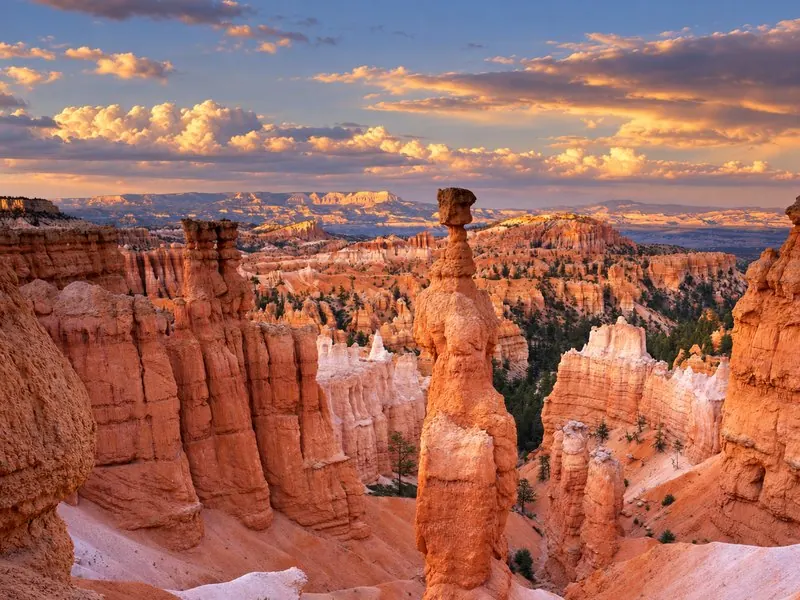
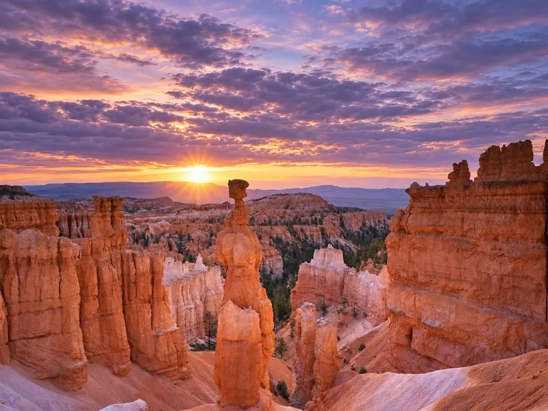
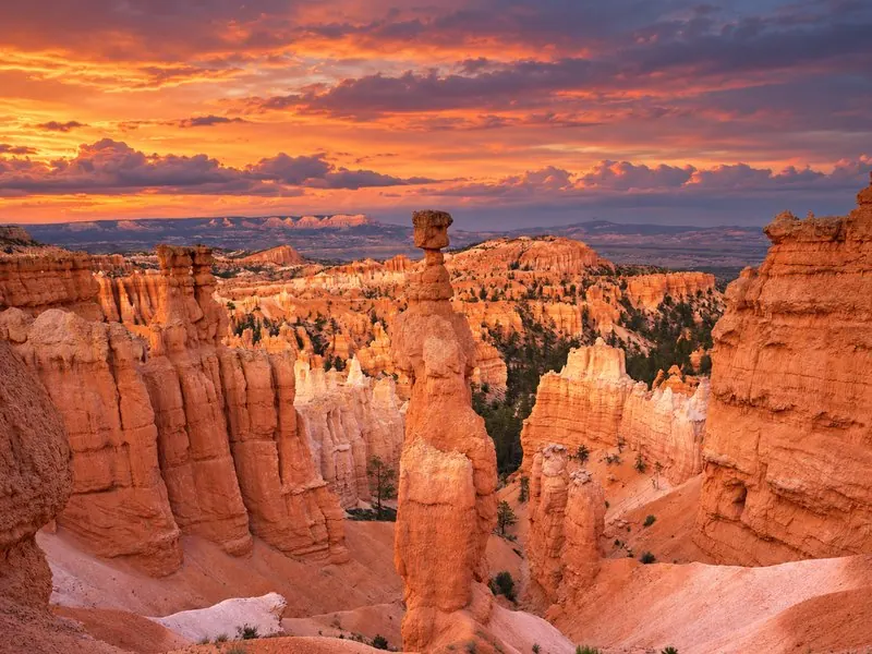
- Sunset Point: some of the park's best-known hoodoos, with Thor's Hammer on the Navajo Loop just below.
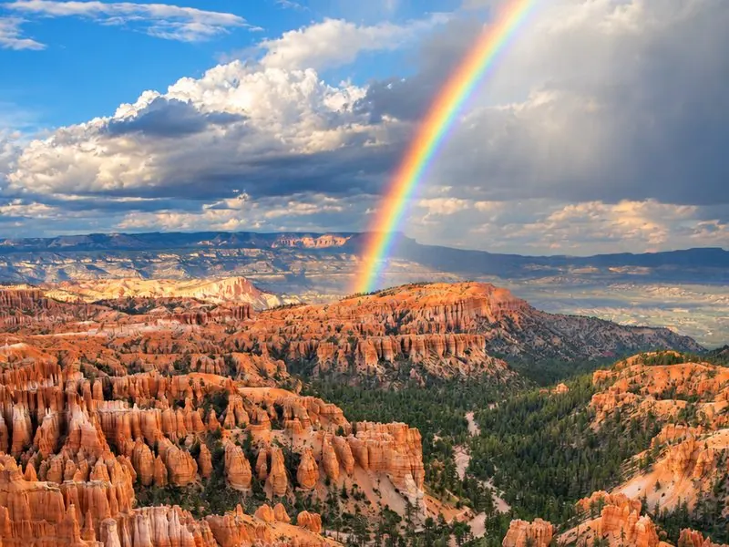
- Inspiration Point: a bird's-eye view over what the park calls the world's largest collection of hoodoos.
- Bryce Point: perhaps the most iconic view of all, at the south end of the amphitheater.
The Southern Scenic Drive
- Rainbow and Yovimpa Points: the end of the road and the park's highest viewpoints at 9,115 feet. The 1-mile Bristlecone Loop starts here.
- Agua Canyon: look for two hoodoos nicknamed "The Hunter" and "The Rabbit."
- Natural Bridge: not actually a bridge but an arch, carved by ice expanding in cracks.
- Farview Point: on most days you can see Navajo Mountain, 90 miles away on the Utah–Arizona line.
- Winter note: after snowstorms this stretch can close at mile 3 for a day or more while plows work. The amphitheater is cleared first.
Off the main road: Fairyland Point (north of the Visitor Center) and Paria View are quieter, but both spur roads close for the winter once snow needs plowing. Official list: Bryce viewpoints.
Which Bryce Canyon hikes are best for a day trip?
The big secret of Bryce: the hikes start at the top. You walk down into the hoodoos first, and every return is uphill at 8,000 feet. The park's line is "going down is optional, but coming back up is mandatory." Turn around before you're tired.
| Trail | Distance | Climb | Why go / status |
|---|---|---|---|
| Rim Trail: Sunset to Sunrise | 1.0 mi round trip | 40 ft | Paved, flat and the easiest walk in the park; strollers and leashed pets OK. |
| Queen's Garden | 1.8 mi round trip | 450 ft | The least difficult trail into the canyon, from Sunrise Point to the Queen Victoria hoodoo. |
| Queen's / Navajo combination | 2.9 mi loop | 625 ft | The park's most popular hike. Down Queen's Garden, up the Navajo Loop's Two Bridges side (Wall Street is closed), back along the rim. |
| Navajo Loop | 1.3 mi | 515 ft | Short and steep, with Thor's Hammer and Two Bridges. Not a loop in winter; Wall Street side closed, Two Bridges open as an out-and-back. |
| Mossy Cave | 0.8 mi round trip | 150 ft | On UT-12 at the park's north end. A streamside walk to an overhang that fills with icicles in winter. Gets very crowded; the park advises going before 10 a.m. or after 6 p.m. |
| Rim Trail (longer) | 1–11 mi | Up to 719 ft | Walk point to point above the hoodoos. Bryce Point to Inspiration Point is regularly closed in winter. |
| Fairyland Loop | 8.0 mi loop | 1,900 ft | Strenuous and quieter, with the Chinese Wall and Tower Bridge. Not a day-trip add-on for most families; Tower Bridge alone is 3.0 mi round trip with 760 ft of climbing. |
Trail tips we pass along
- Wear real hiking shoes. The park says the wrong footwear is the number one cause of rescues and injuries. In winter, add traction devices; the Visitor Center bookstore sells them.
- Drink about a quart every 1–2 hours, even when it's cold. Dry, thin air dehydrates you fast.
- Stay on trail and never climb the hoodoos. The rock is crumbly and climbing is illegal.
- Lightning is a year-round danger. If you hear thunder, head for a building or your car.
Full list: Bryce Canyon hiking. Always check current alerts the morning you go.
How cold is Bryce Canyon, and what about the altitude?
This is the one that catches Southern Utah visitors off guard. Bryce is nearly 4,000 feet higher than the visitor centers at Zion. At 8,000 feet you get about 75% of the effective oxygen you'd have at sea level, and it's far colder than Hurricane on the same day.
| Month | Bryce high / low | Zion Canyon high / low | What it means |
|---|---|---|---|
| October | 58°F / 32°F | 79°F / 48°F | Snowstorms aren't unusual, but plenty of days are sunny. |
| November | 45°F / 23°F | 64°F / 37°F | Winter coats, gloves and hats. About 10 inches of snow in a normal month. |
| December | 36°F / 15°F | 54°F / 30°F | Coldest and snowiest stretch runs December through February. |
| July | 80°F / 53°F | 100°F / 70°F | Bryce is the cool escape, but expect afternoon thunderstorms in July and August. |
- Freezing nights from October to May. For much of the winter the popular trails are icy; the park recommends traction devices everywhere, parking lots and paved areas included.
- Know the altitude warning signs: dizziness, headache, muscle aches and nausea. Ease up, drink water, and head lower if they start. Anyone with heart or lung conditions should check with their doctor first.
- Pack layers in the car even if it's warm when you leave Hurricane.
- Snow day? Snowshoeing is allowed on all trails, and ranger-led snowshoe hikes run when there's at least 12–14 inches of snow. Read the park's winter guide.
Is Bryce Canyon good with kids?
- Start at the Visitor Center. Pick up the free Junior Ranger activity book, then bring it back to a ranger for a badge. The 22-minute park film plays on the hour and half hour, a good warm-up on a cold morning.
- The easy kid trails: the paved Rim Trail between Sunset and Sunrise Points (stroller-friendly), Queen's Garden, Mossy Cave and the Bristlecone Loop.
- Catch a free ranger talk. When we checked, a 20–30 minute geology talk was on the park calendar at 11 a.m. near Sunset Point on most days into mid-December, plus a 2 p.m. talk (a rim walk through October 31, then a Visitor Center talk from November 1). Programs cancel for storms, low wind chill or staffing. Checked October 27, 2026
- Hold hands near the rim and keep kids off the hoodoos and loose slopes.
- Plan the uphill. Little legs do fine going down; budget extra time and snacks for the climb out.
- Picnic spots: Sunset Point, Rainbow Point and the scenic drive near miles 5 and 9. In-park food is limited in the off-season, so pack lunch before you leave Hurricane.
- Age limits to know: children 7 and younger can't join full moon hikes, and ranger snowshoe hikes start at age 8.
- Dogs are allowed only on paved surfaces: roads, campgrounds, paved viewpoints, the Shared Use Path and the Sunset-to-Sunrise Rim Trail. For dog-friendly hoodoo trails, the park points to nearby Red Canyon.
More from the park: Visiting Bryce Canyon with kids.
When are the best sunrises, sunsets and stars?
Sunrise and sunset
Bryce sits on the eastern edge of its plateau, and Sunrise Point is named for the show. The catch for day-trippers: being there for sunrise means leaving Hurricane around 4 a.m., which is why sunrise is the best reason to add a night near the park.
- Oct 27, 2026: sunrise 7:49 a.m., sunset 6:36 p.m. (daylight time)
- Nov 15, 2026: sunrise 7:09 a.m., sunset 5:17 p.m. (clocks fall back Nov 1)
- Dec 15, 2026: sunrise 7:37 a.m., sunset 5:11 p.m.
Times for the Visitor Center area from the U.S. Naval Observatory.
Some of the darkest skies anywhere
Bryce became a Gold Tier International Dark Sky Park in 2019. On a clear, moonless night you can see thousands of stars. Go during the week of the new moon or the week before; the next new moons are November 9 and December 9, 2026.
- Park-recommended spots: Sunrise Point, Inspiration Point (close to its lot on cold nights), Whiteman Bench Picnic Area at mile 9.5 (one of the park's darkest places) and Yovimpa Point.
- Full moon hikes with a ranger are ticketed; the next one is November 24, 2026. Tickets open 14 and 5 days ahead at 8 a.m. Mountain Time, up to six per reservation. Lug-sole hiking shoes required.
- The park offers about 100 astronomy programs a year and a four-day Astronomy Festival each summer. Night sky programs
Stargazing and a day trip don't mix well: after dark it's a long, cold drive home. If stars are the goal, stay a night near Bryce, then come back to camp.
Where can you stop for Red Canyon, food and gas on the way?
Red Canyon
On UT-12 about 3.5 miles east of US-89, Red Canyon in Dixie National Forest is a bright red preview of Bryce, about 13 miles before the park. Trails nearby include Pink Ledges, Hoodoo, Birdseye and Golden Wall, and it's where the National Park Service sends hikers with dogs, since Bryce's trails are off-limits to pets. The new paved Shared Use Path runs 24 miles from here to Bryce Point.
The Red Canyon Visitor Center is listed as closed on the Forest Service page; call the Dixie National Forest office at (435) 865-3700 for current information. Checked October 27, 2026
Food and gas
- Fill up in Hurricane before you leave.
- Panguitch, on US-89 about 7 miles from the UT-12 turnoff, is a National Historic District with brick buildings dating back to the 1860s. The county says you'll find shops, restaurants and lodging along US-89, at the 12/89 junction and in Panguitch.
- Bryce Canyon City, just north of the park, has a gas station about 2 miles north of the park and a post office.
- Inside the park, food is seasonal: the Lodge dining room typically closes November through March. Water-fill stations are at the Visitor Center and the Sunset Point restroom.
- The nearest hospital is in Panguitch, about 30 minutes west of the park.
Sources: Red Canyon Visitor Center (USDA Forest Service) · Bryce Canyon Country · Bryce goods & services.
Can you take an RV to Bryce Canyon or through the Zion tunnel?
Bryce itself is RV-friendly, but the shortcut through Zion isn't for every rig. Since June 7, 2026, any vehicle over these limits can't drive the Zion–Mount Carmel Highway between Canyon Junction and the East Entrance at all. That includes the tunnel.
| Single vehicle | Combination (truck + trailer, motorhome + tow car) | |
|---|---|---|
| Length | 35'9" | 50' total; trailer max 26' from hitch to rear axle |
| Width | 7'10" | 7'10" |
| Height | 11'4" | 11'4" |
| Weight | 50,000 lb | 50,000 lb |
- No escort, no permit workaround. These limits replaced the old tunnel pass system for large vehicles. Current NPS pages describe no escort or permit for rigs over the limits; over-limit vehicles arriving at the East Entrance are turned around, and at the South Entrance they can only go as far as Zion Canyon's large-vehicle lot, the lodge, the campgrounds, or the Scenic Drive in the shuttle off-season.
- Over the limit? Take UT-20. The park lists the route north of Cedar City at about 150 miles and 2.5 hours from Zion, only about 42 minutes longer. From our park, the I-15 and UT-20 route is the fastest way to Bryce anyway.
- Our best move: leave the RV at camp. Unhitch on a full-hookup site at Jellystone Park™ Zion and take the tow car or truck. No measuring, no tunnel waits.
- Inside Bryce: vehicles 23 feet or longer can't park at the Bryce Amphitheater viewpoint lots during shuttle hours (April to mid-October), and never at Paria View. Mossy Cave and Rainbow Point allow oversized vehicles.
- Dump station: the park's RV dump station is closed for the season (it closes when nights freeze). Checked October 27, 2026
- Winter driving: park roads are plowed and sanded after storms, but closures happen. Check UDOT and park conditions before towing anything north.
Official rules: Large vehicles in Zion. Our Zion National Park guide covers the rest of Zion's RV tips.
Your Zion & Bryce base camp
What's the best base camp for Zion and Bryce?
If Zion is the heart of your trip and Bryce is one big day, base in Hurricane at Jellystone Park™ Zion. Zion's South Entrance is under an hour away, Bryce is about 2 hours 40 minutes, and on the other days you've got Sand Hollow, Snow Canyon and Tuacahn close by. Come home from 9,000 feet to Southern Utah's milder side, a hot shower and your own fire pit.
-
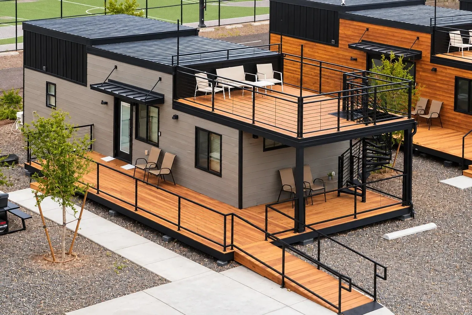
Glamping Cabins
- Sleep 5 to 9
- Fire pit at every cabin
- Linens in Yogi Bear™ cabins
Real beds after a long day at altitude. Yogi Bear™ and Cindy Bear™ glamping cabins, plus the budget-friendly Ranger Smith™ Bunkhouse.
See glamping cabins › -
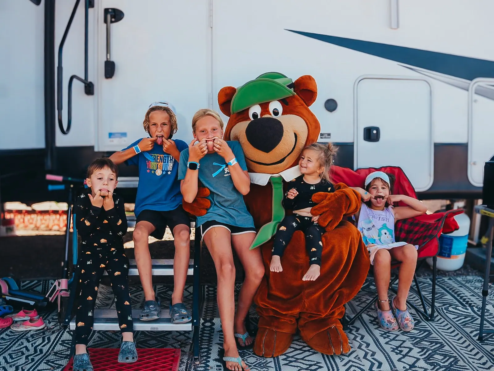
RV Sites
- Up to 75 ft
- Full hookups, 30/50 amp
- Pull-through & back-in
Leave the big rig plugged in here, unhitch, and drive the tow car to Bryce. No tunnel measuring, no hunting for oversize parking.
See rv sites › -
Winter Stays
- $699 a month
- Oct 1, 2026 – Mar 31, 2027
- Utilities included
Become a Winter Utahn: spend the season in Hurricane and save Bryce for the clearest, snowiest-looking day of the week.
See winter stays ›
Why Zion and Bryce travelers base here
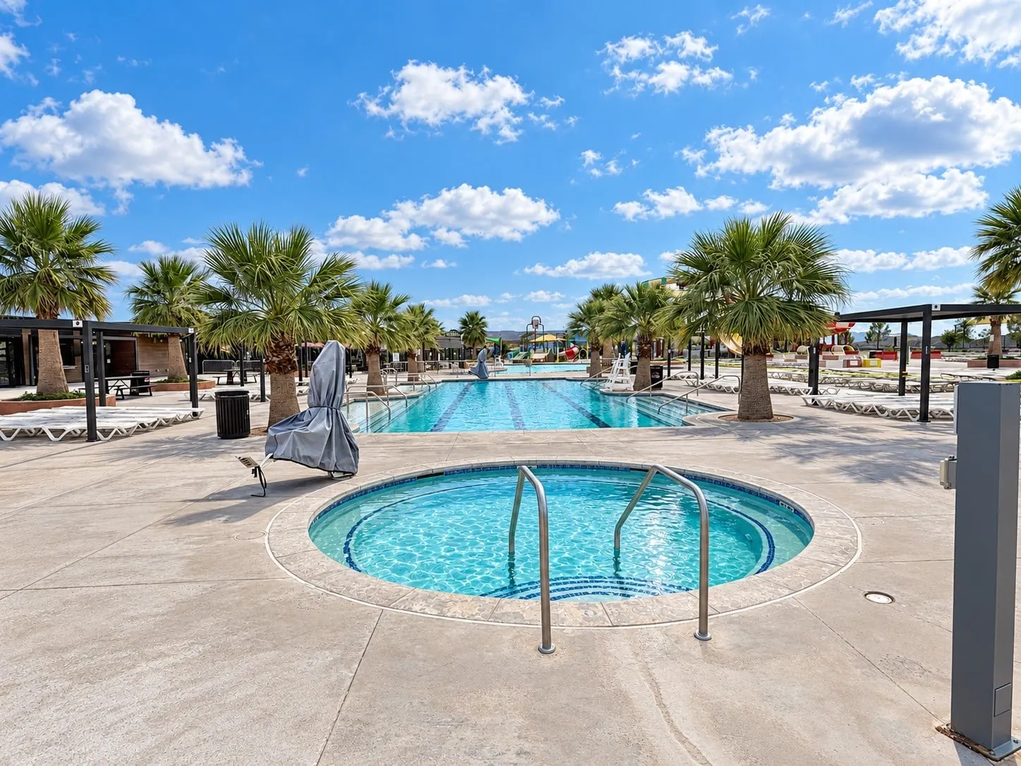
- Warm up after the cold. The heated lap pool and hot tub are open to campers every day from 11 a.m. to 10 p.m. with an access code (closed Fridays 2–3 p.m. for cleaning). The Water Zone is closed for the 2026 season.
- Leave the rig, take the tow car. Full-hookup RV sites up to 75 feet, pull-through and back-in, with a picnic table, grill and fire ring.
- Late return? No problem. The campground is open 24/7, and quiet hours start at 11 p.m.
- Bring the dog. Pets are welcome at RV sites (cabins and tent sites are pet-free).
- More than Bryce. See our guides to Zion National Park, Sand Hollow State Park, Snow Canyon State Park and Tuacahn.
What does a Bryce Canyon day trip look like?
Times assume November daylight (sunset around 5:15 p.m.), the Visitor Center's winter hours and no snow delays. Drive times are approximate.
Hoodoos in a day
- 6:30 a.m.: Leave Jellystone Park™ Zion with lunch, water and warm layers. North on I-15 to UT-20.
- About 9:15 a.m.: Mossy Cave on UT-12, before the 10 a.m. crowds. Icicles if it's cold.
- 10 a.m.: Visitor Center for Junior Ranger books, trail status and traction devices if needed.
- 10:45 a.m.: Sunset Point. Catch the 11 a.m. geology talk if it's on, then hike Queen's Garden down and Two Bridges up (2.9 mi, 2–3 hours).
- 1:30 p.m.: Picnic, then Inspiration and Bryce Points.
- 3:30–4 p.m.: Head home on UT-20 and I-15 to get the mountain miles done in daylight. Back at camp around 6:30 p.m. for the hot tub.
The Zion + Bryce loop
- 6:30 a.m.: East on SR-9 into Zion (Zion pass needed), through the tunnel in vehicles within the size limits only.
- About 8:15 a.m.: Mount Carmel Junction. US-89 north, then UT-12 east through Red Canyon.
- About 9:30 a.m.: Visitor Center, then the Rim Trail from Sunset to Sunrise Point and Queen's Garden.
- 1 p.m.: Drive the 18-mile scenic road to Rainbow Point and stop at the viewpoints on the way back (if the road beyond mile 3 is open).
- 3:30 p.m.: Home via UT-20 and I-15, about 2 hours 40 minutes, so you don't double back through the tunnel.
Stars and sunrise
- Day 1, midday: Drive up, hike, and stay for sunset at Inspiration Point.
- Evening: Stargaze near the new moon at Sunrise Point or Whiteman Bench (mile 9.5). Dress for well below freezing.
- Night: Stay near the park. North Campground is open all year by reservation, or book in a nearby town.
- Day 2: Sunrise at Sunrise Point, a morning hike, then back down to Hurricane for the heated pool.
The easy half-day
- 7 a.m.: Leave camp; about 2 hours 40 minutes to the park.
- About 10 a.m.: The four amphitheater viewpoints and the paved Sunset-to-Sunrise rim walk (1 mile, strollers welcome).
- Noon: Lunch, then home, with time to stretch your legs at Red Canyon on the way out.
What else do visitors ask about Bryce Canyon?
How far is Bryce Canyon from Hurricane, St. George and Zion?
From Jellystone Park™ Zion in Hurricane it is about 140 miles and about 2 hours 40 minutes to the Bryce Canyon Visitor Center by the fastest route: I-15 north, UT-20, US-89, UT-12 and UT-63. St. George is about the same, roughly 140 miles and 2 hours 40 minutes. Through Zion on the Zion–Mount Carmel Highway it is about 115 miles from our park but about 3 hours, and roughly 2 hours from Zion's South Entrance. All times are approximate and assume no traffic or snow.
Can you do Bryce Canyon as a day trip from Zion or Hurricane?
Yes, and many people do, but it is a full day: plan on 5 to 6 hours of round-trip driving from Hurricane plus 4 to 6 hours in the park. Leave by about 6:30 a.m., focus on the Bryce Amphitheater (the first 3 miles of the park road) and one hike, and you can be back for a late dinner. If you want sunrise, stars or the whole 18-mile scenic drive, add a night near the park.
Is the Bryce Canyon shuttle running now?
No. When we checked on October 27, 2026, the 2026 shuttle season (April 3 to October 18) had ended, so you drive your own vehicle in the park. The shuttle is free with park admission and normally runs April through mid-October.
Can I drive my RV through the Zion tunnel to get to Bryce Canyon?
Only if it fits the limits. Since June 7, 2026, vehicles over 35'9" long, 7'10" wide, 11'4" tall or 50,000 lb, or combinations over 50 feet total or with a trailer over 26 feet from hitch to rear axle, may not drive between Canyon Junction and Zion's East Entrance at all. Measurements include mirrors and attachments. Larger rigs use UT-20 north of Cedar City instead. Most of our guests leave the RV on its site and drive the tow car or truck.
How much does Bryce Canyon cost?
When we checked on October 27, 2026: $35 per private vehicle, $30 per motorcycle and $20 per person on foot or bike, with ages 15 and under free. The Bryce Canyon annual pass is $70 and the America the Beautiful pass is $80. Non-US residents 16 and older pay an extra $100 per person unless they enter on an annual or America the Beautiful pass. The park does not accept cash.
Is Bryce Canyon good for kids?
Very. The paved Rim Trail between Sunset and Sunrise Points is flat and stroller-friendly, Queen's Garden is the gentlest trail down into the hoodoos, and the free Junior Ranger book comes from the Visitor Center. Just remember the altitude (8,000 to 9,115 feet), that every canyon hike ends uphill, and that it is much colder than Hurricane.
Is Bryce Canyon open in winter?
Yes, 24 hours a day, all year. After snowstorms the main road can close beyond mile 3 for a day or more while plows clear it, but the four big Bryce Amphitheater viewpoints are plowed first. Some trails and spur roads close for the season, and traction devices are strongly recommended on icy trails and paved areas.
What is the best base camp for Zion and Bryce?
If Zion is the main event and Bryce is one big day, a Hurricane base like Jellystone Park™ Zion works well: Zion's South Entrance is under an hour away, Bryce is about 2 hours 40 minutes, and Sand Hollow and Snow Canyon State Parks are close too. If Bryce is your priority for several days, or you want its sunrise and stars, stay a night or two near Bryce as well.
Official sources we used
- Bryce Canyon current conditions and alerts
- Bryce Canyon fees and passes
- Operating hours and seasons
- Park shuttle
- Visiting in winter
- Hiking and hiking at high altitudes
- Weather averages
- Ranger program calendar and full moon hikes
- Shared Use Path completion (Oct 15, 2026)
- Zion large-vehicle restrictions and Zion fees
- UDOT Zion area updates and UDOT traffic
Before you go, a quick look at current park conditions confirms anything that changed since October 27, 2026. Drive times are approximate and assume no traffic or snow. This guide is published by Jellystone Park™ Zion and is not affiliated with the National Park Service, the Forest Service or UDOT.